A land survey measures the dimensions of a particular area of the Earth’s surface. This includes the horizontal distances, directions, angles, and elevations. Today’s surveys not only measure the land. It also includes the air above and water below us.
Common surveys
Topographic survey is the most common and well-known surveys conducted today. Mortgage surveys and boundary surveys, too.
- Topographic surveys
These are surveys of the land that locate natural and man-made features on a piece of property. This includes buildings, fences, and improvements. Elevations, land contours, trees, and streams are also covered by this survey. The government sometimes requires these surveys. Engineers and architects also use these surveys. It aids them in the developments on a site or the design of improvements.
- Mortgage surveys
Mortgage surveys are simple surveys. It determines land boundaries and building locations. Title companies and lending institutions usually demand these kinds of surveys. This is to ensure that there are no structures intruding on the property. Also that all structures on the property meet current zoning and building codes. A licensed mortgage survey that is official adheres to a set of standards. A mortgage inspection is a non-regulated substandard survey. It is not considered or accepted as an official land survey.

- Boundary surveys
These surveys establish the true boundaries of a given property using recorded markers. The establishment of new landmarks also help. A surveyor then marks the corners and lines of the plot using markers. These markers include iron rods and pipes. Concrete monuments in the ground or nails set in concrete or asphalt are also markers. Trees, piles of stones, and other less permanent markers lead to confusion. This is why those are not used anymore.
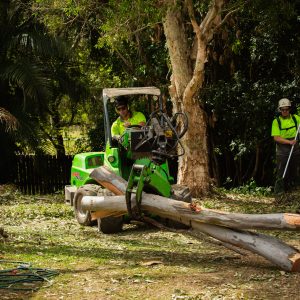
Construction surveys
Land surveying in the construction industry is by far one of the largest areas of land surveying. One of the reasons is because it grows fast. Surveys are very important as part of the beginning and planning of the construction. It also plays a huge part during the actual construction. It even helps in the maintenance after the construction. Most of these surveys fall under the discipline of civil engineering. You need more degrees and certifications before you can conduct these.
- As-built surveys
These are surveys conducted several times during a construction project. This is for local and state boards verification. This is to ensure that the authorized work follows the specifications set on the plot plan.
- Foundation survey
This is a type of as-built survey. It collects the positional data on a foundation. These are usually done to ensure that the foundation is in the proper location. And that it follows the proper manner in building according to the plan.
- Deformation survey
This determines if a structure or object is changing shape or moving. A three-dimensional positioning on specific points on an object is set. After letting a period of time, the surveyor retakes and measures the points. A structure is then determined to be shifting or moving, and by how much.
Other surveys
Land surveyors are also responsible for other surveys. These include those that fall under the land and water category.
- Hydrographic and bathymetric surveys
These collect data relating to any body of water. It includes water depth, bottom contours, and the direction of the current. It also covers observing and recording of high water marks and water levels. The location of fixed objects and landmarks for navigational purposes are also included. Bathymetric surveys deal with the mapping of the seabed profile. It deals with underwater only.
- Geodetic surveys
These map out the shoreline. It is accountable for the interior lands of the United States as well as its coasts.
- Wetlands delineation and location surveys
They belong in a category of their own. These surveys are for construction on or near a site containing defined wetlands. These are areas that are completely overwhelmed with water for more than two weeks.
There are many other types of land surveys. The above are the most common that you are most likely to encounter.